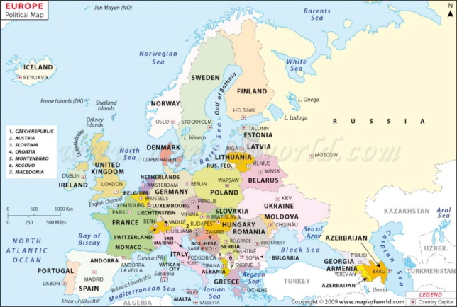
Source: Political map of Europe, Maps of the World
To help you understand more about political boundaries, we will examine the continent of Europe. This continent is an excellent example because it has changed political boundaries over time. Take a look at the map of Europe and study its boundaries. Answer the questions that follow.
Source: Political map of Europe, Maps of the World
Look at the map of Europe above. Think about each question and then check the answer.
1. Analyze the shapes of the countries on the map of Europe. How are the boundaries formed?
Interactive popup. Assistance may be required. Some boundaries are formed using natural boundaries like rivers, mountains, and oceans while others are formed based on war or conquest. Some boundaries are drawn up based on centuries old tribal territories.
2. How could small countries like Belgium or Luxembourg exist between larger countries like France and Germany?
Interactive popup. Assistance may be required. The boundaries of these countries are based on centuries old traditions and have been able to maintain their boundaries through careful negotiation and treaties with their more powerful neighbors.
3. What do you think caused these countries to develop the political boundaries that they did?
Interactive popup. Assistance may be required. Some boundaries were formed through peaceful negotiation and treaties, while other boundaries were formed through negotiated settlements following wars. The political boundaries are formed along lines of traditional cultural ties as well as natural boundaries.