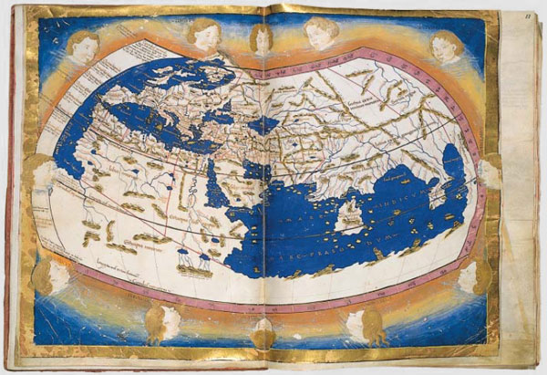
 Source: Ptolemy World Map, Nicolaus Germanus, Wikimedia
Choose a place you have never been. Now, take out a piece of paper, and draw it. That is what life was like for early explorers. They had no Atlases, mapQuest, or Google Earth to help them find their way. All they had to go on was what previous explorers had to say. Take a look at the maps below dated from approximately (A) 1467, and (B) 1689.
(A)
Source: Ptolemy World Map, Nicolaus Germanus, Wikimedia
(B)
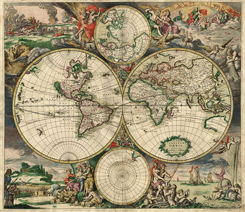 Source: World Map 1689, Gerard van Schagen, Wikimedia
These are maps of the world at that time. Compare them to the modern world map, found here.
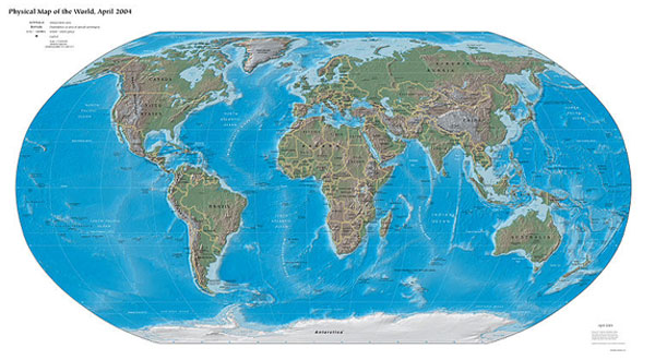 Source: World-map-2004-cia-factbook-large-2m, Central Intelligence Agency, Wikimedia
What are the differences you see? Write down your impressions in your notes.